
Cycling Network Study
Help create a connected cycling network for riders of all ages and abilities
Project update
The Protected Cycling Network Study, concluded in April 2023, has developed conceptual designs for 8.8 kilometres of protected cycling infrastructure along three corridors (see map):
- Eramosa Road between Woolwich Street to Victoria Road (Study Area A)
- Gordon Street between Waterloo Avenue to Clair Road (Study Area B)
- College Avenue between Janefield Avenue to Dundas Lane (Study Area C).
Figure 1: Study Area
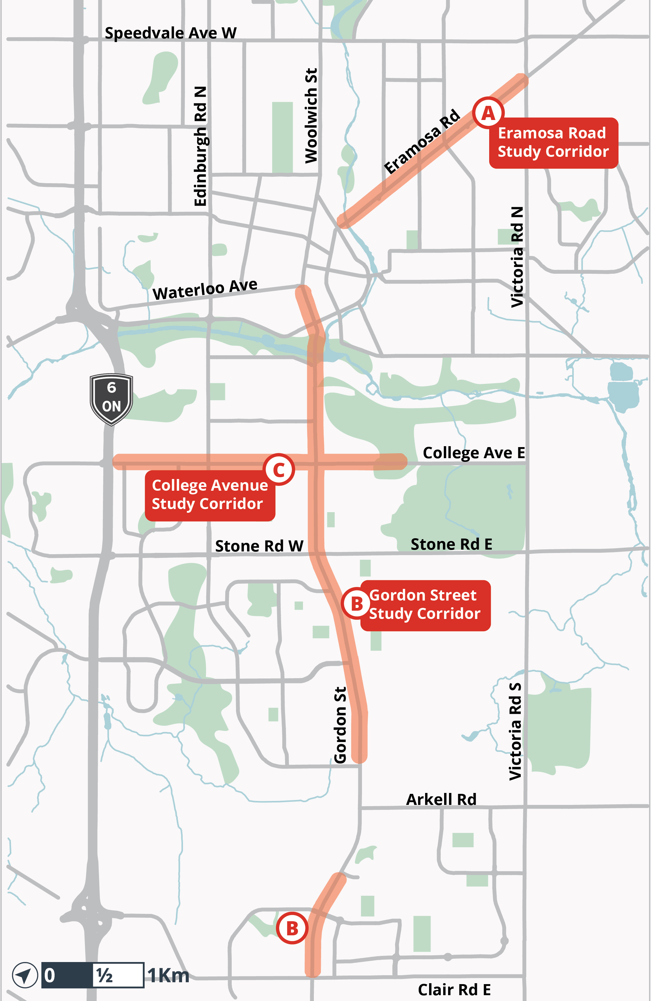 Study area map - click for full size
An Information Report was published on March 31st, 2023 to provide a summary of the Protected Cycling Network Study, and inform members of Council and the public of the next steps planned for the implementation of protected cycling facilities. The Protected Cycling Network Study report begins on page 76.
Detailed study reports for each corridor are posted on the project page at guelph.ca/cyclingnetwork
Next steps
The College Avenue protected cycling facilities will be the first of the three road corridors to move forward, with detailed design in 2023 and construction expected in 2024-2025.
The Gordon Street and Eramosa Road protected cycling facilities will proceed to detailed design and construction, subject to funding and approvals.
For more information
Kate Berry, Project Manager, Sustainable Transportation
Engineering and Transportation Services
City of Guelph
519-822-1260 extension 2357
Videos

Who's Listening
-

Phone 519-822-1260 x2791 Email jennifer.juste@guelph.ca -

Email mking@dillon.ca
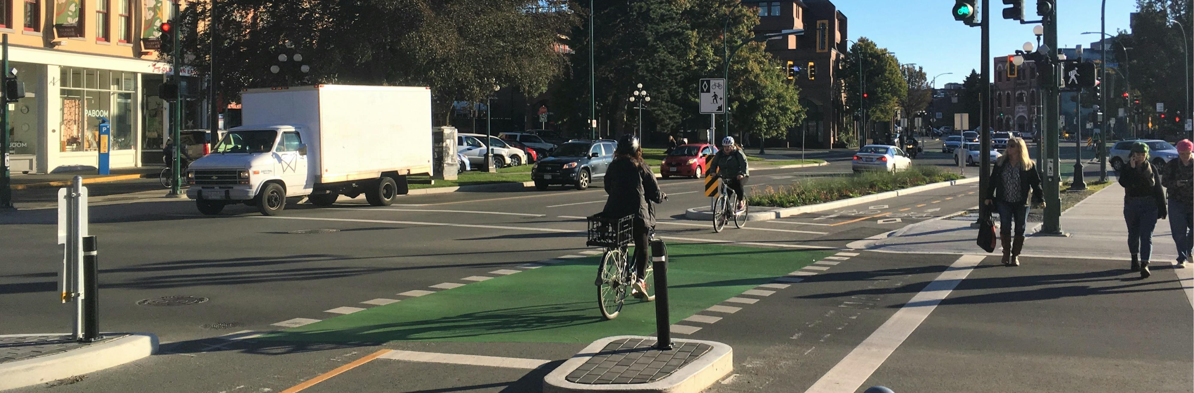
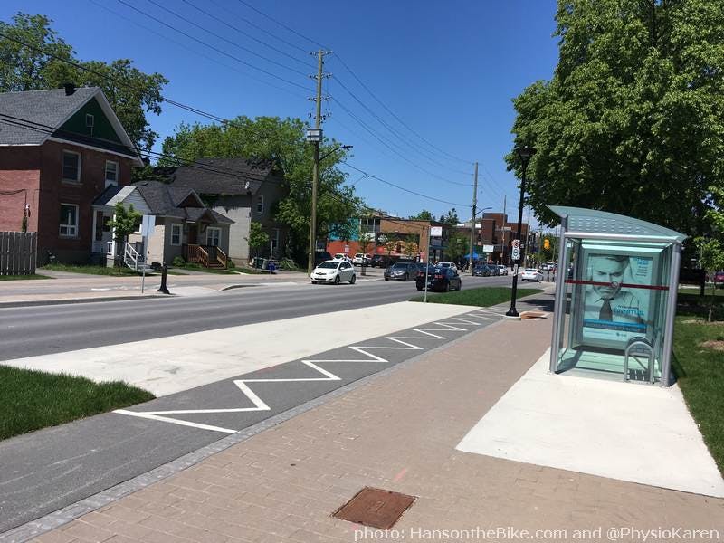
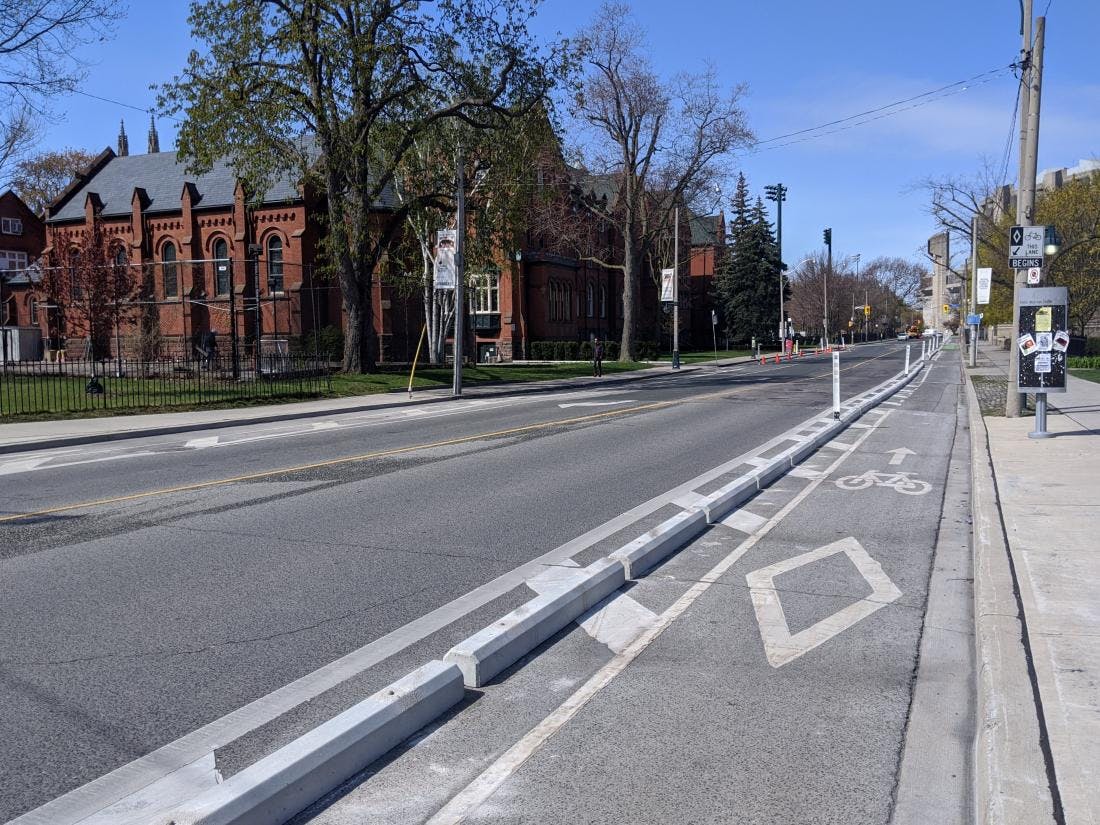
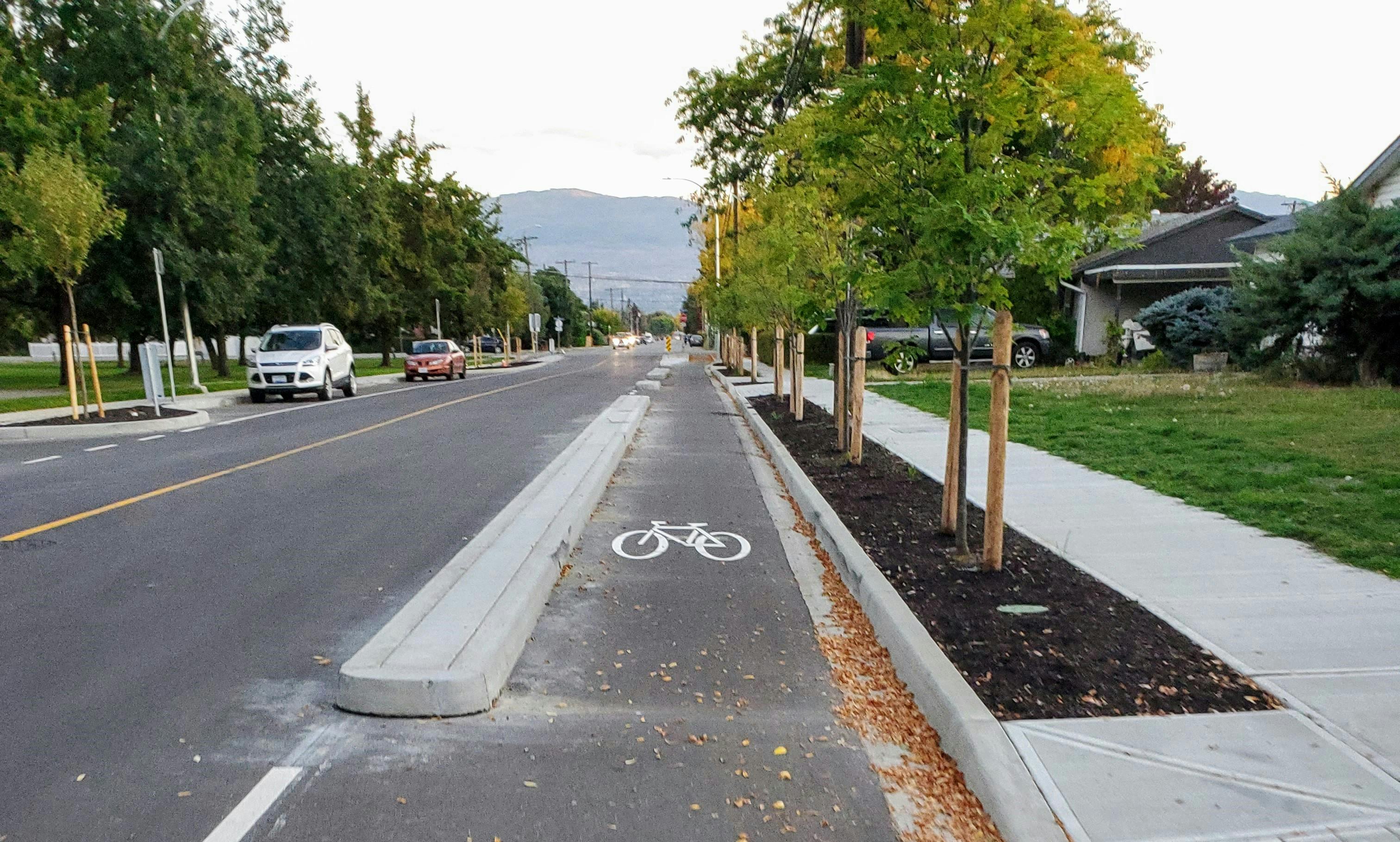
Cycle Track Example Images
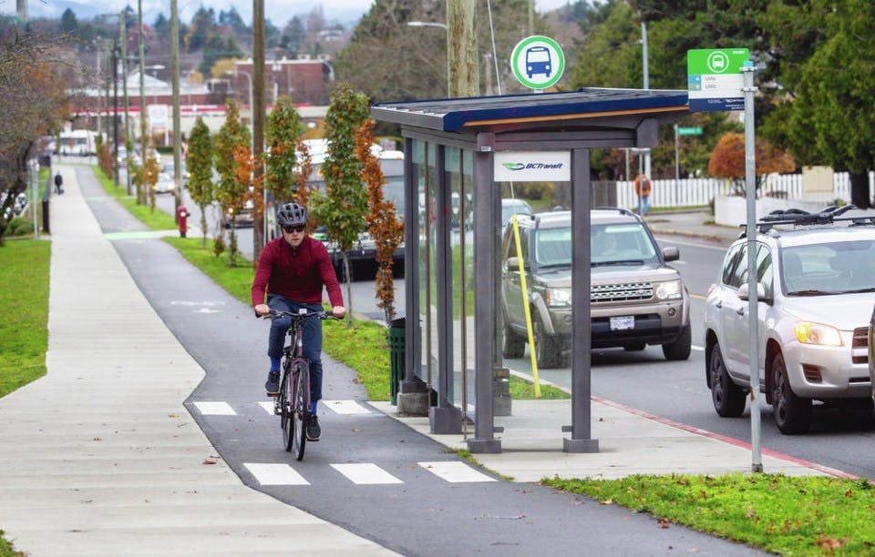
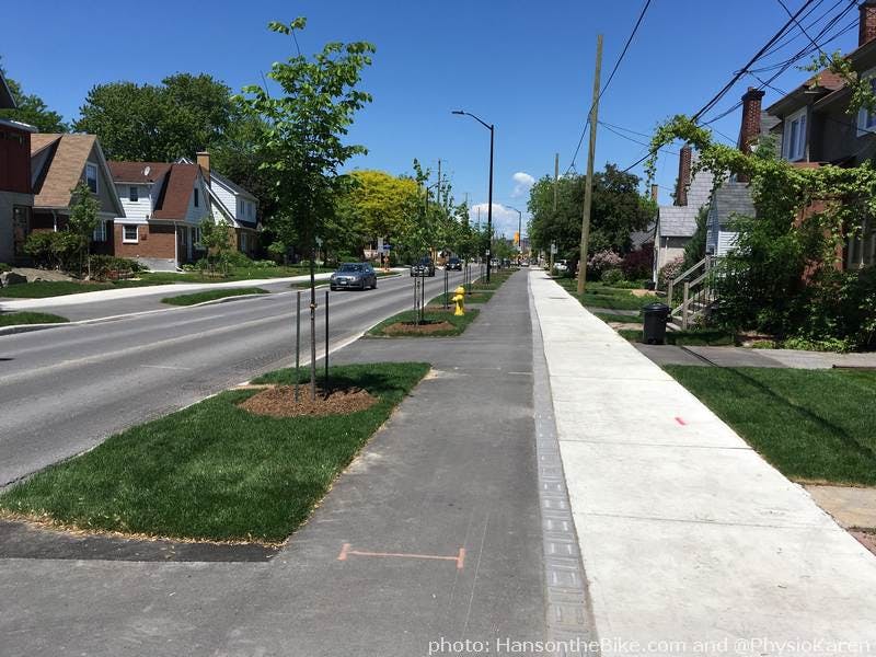
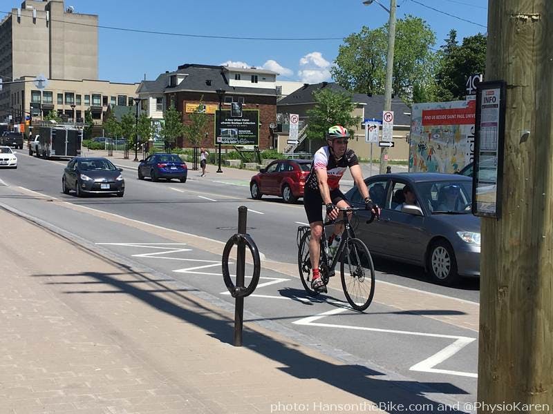
Multi-Use Path Example Images
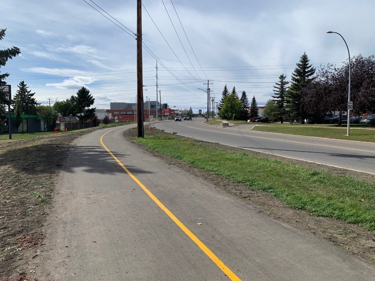
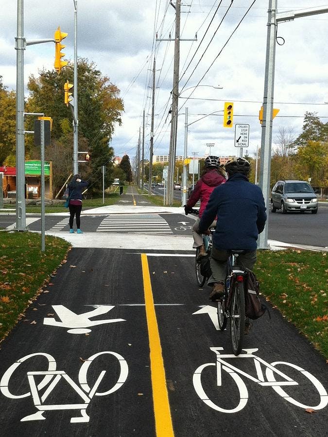
Protected Bike Lane Example Images
Documents
-
 Guelph Protected Cycling Network Engagement Report.pdf (1.43 MB) (pdf)
-
Notice of Correction_.pdf (182 KB) (pdf)
-
Guelph Protected Cycling engagement summary.pdf (236 KB) (pdf)
-
Notice of Consultation - Guelph Protected Cycling Network (234 KB) (pdf)
-
Evaluation Criteria.pdf (311 KB) (pdf)
-
Evaluation of Alternatives - College Avenue.pdf (524 KB) (pdf)
-
Evaluation of Alternatives - Gordon Street.pdf (546 KB) (pdf)
-
Evaluation of Alternatives - Eramosa Road.pdf (510 KB) (pdf)
-
Remix Legend.pdf (152 KB) (pdf)
-
 Open House - July 2022

